
News @en
The present and future of mountains, from the valleys to the summits, focus of the Euromontana 2024 congress
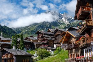
The present and future of mountain areas cover both their environmental, social and economic scope, in a natural environment affected by climate change, the impact of tourism and leisure, the seasonality of its offer and the arrival of new residents.


