Search

GeoViQua Project: Final achievements and scenarios

Portada del document

This leaflet presents the final achievements of the GeoViQua (QUAlity aware VIsualisation for the Global Earth Observation system of systems) project described in terms of two demonstration scenarios. The scenario 1 is related to agriculture flooding practices control, and the scenario 2 talks about the Global Carbon Atlas.
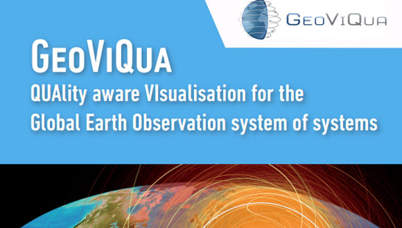
Leaflet image
Leaflet image

For each page, the upper part framed in background color describes the scenario stories and the lower part describes components developed by GeoViQua.

GeoViQua is a project financed by the Seventh Framework Programme of the European Commission  (nº 265178).

Related articles

"Remote sensing is astronomy in reverse: it entails looking at Earth through a powerful magnifier and exhaustively observing the entire planet.". Image: Joan Masó
News @en
Adriana Clivillé

Joan Masó against the digital Tower of Babel

A physicist who specializes in spatial information and programming, Joan Masó has actively contributed to milestones such as the development of the MiraMon digital mapping

We've changed the wordpress version If you prefer to read this news in Spanish or Catalan from 2020 to 2012, go to the front page of the blog, change the language with the selector in the upper menu and look for the news in the magnifying glass bar.

Subscribe to our Newsletter to get the lastest CREAF news.